HI THERE! WELCOME TO
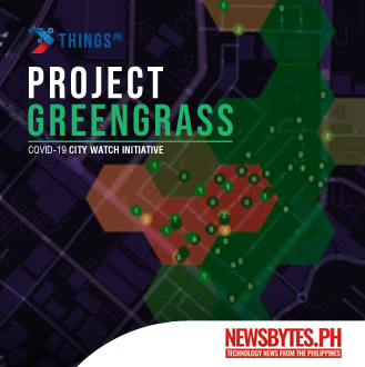
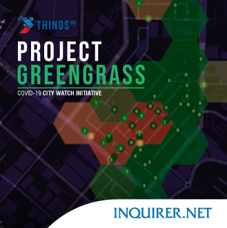
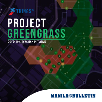
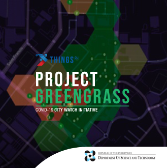
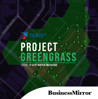
Project Greengrass
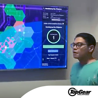
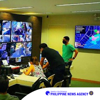
Project Greengrass is a free online community map of real-time street activity monitoring using CCTV networks. It allows the community to have a view on the count of people in their barangays or cities per minute. With Project Greengrass, local government authorities can efficiently manage their operations and staff and help them ensure that the enhanced community quarantine protocols are followed.
*To ensure the integrity and validity of the data, only local government units and registered businesses can be camera contributors.